Overview
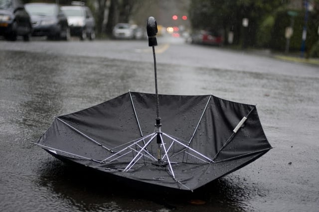
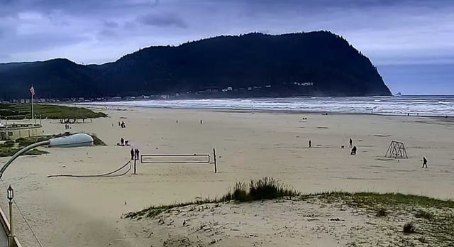
- Widespread rain reached the Oregon coast Monday morning and was expected to spread into the valleys by late morning to midday.
- A stronger system is forecast Tuesday, followed by another front Wednesday that could bring heavier showers and isolated afternoon thunderstorms.
- Winds increase with the Tuesday system, with 25–30 mph gusts inland and 45+ mph along the coast where gale conditions are possible.
- Rainfall is generally light to moderate, from a few tenths of an inch Monday to roughly 0.5–0.75 inch across parts of the Willamette Valley by Wednesday.
- Showers should ease Thursday with a trend toward a drier weekend, while Central Oregon stays cooler in the 60s with scattered showers and a slight thunder chance.