

Overview
- Most broad rain warnings have been downgraded, with the DWD keeping localized advisories for lingering heavy rain in parts of northeast Bavaria and a risk of strong thunderstorms in southern Bavaria from Saturday.
- Measured totals were noteworthy but impacts stayed limited: preliminary DWD data show up to 77 l/m² in 24 hours at Grünstadt-Sausenheim and around 84 l/m² over 48 hours in the heaviest cores.
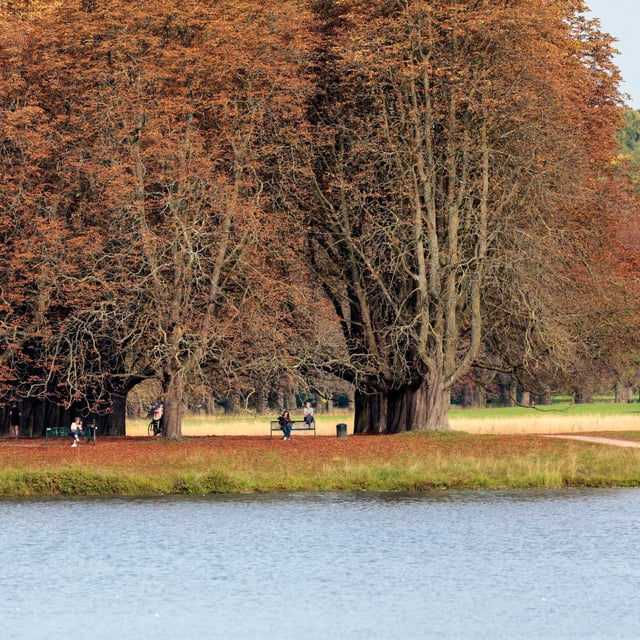
- The regional split persists short term, with sunnier, drier conditions in the north and residual cloud and showers in the south, and earlier wind peaks included mountain gusts up to about 80 km/h.
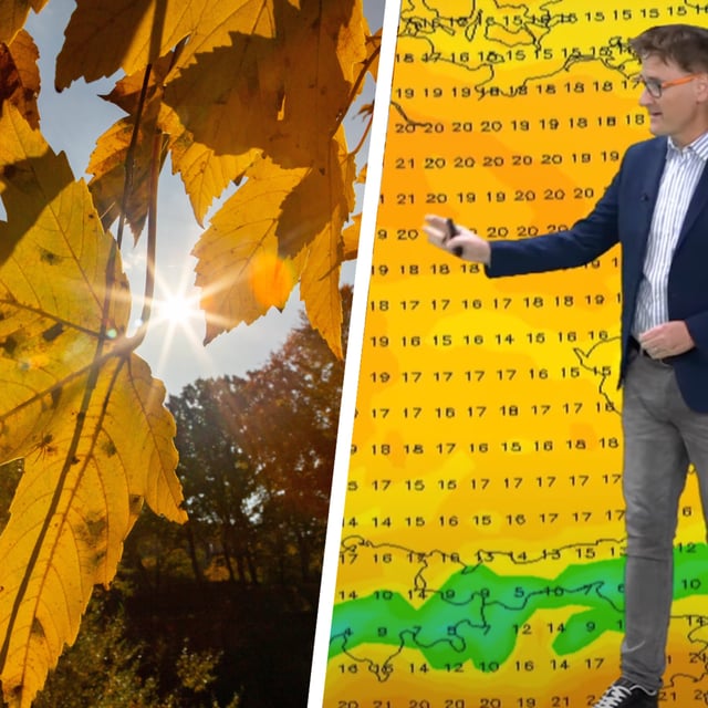
- Forecasts point to gradual improvement through the weekend in many areas: NRW, Rheinland-Pfalz, Hessen and Sachsen-Anhalt trend drier with highs reaching 16–20 °C on Sunday, though Friday remains cool and cloudy for many.
- In the south, Baden-Württemberg stays wettest on Friday with some showers and isolated storms before brighter spells return over the weekend, while Munich’s Oktoberfest faces a cloudy, cool second weekend with only limited sunshine and highs around 16–17 °C.