Particle.news

Download on the App Store

Quiet Tropics Mark Start of Peak Atlantic Hurricane Season

NOAA has deployed upgraded forecasting tools to improve early warnings ahead of a predicted surge in storms.

This weather satellite photo of the Gulf of Mexico, taken Wednesday afternoon, shows a relatively quiet area for storm development. Although the tropics remain quiet for now, mid-August historically has been the start of the most active stretch of the Atlantic hurricane season.
This map shows the Climate Prediction Center's global tropical hazards map. Development off the coast of the southeast United States is possible through mid-August, with activity in the deep tropical Atlantic possible by late August.
A hurricane is seen from space.
in 2005, Hurricane Katrina devastated New Orleans and the central Gulf Coast when it hit on Aug 29. This year officials are gearing up for the traditional August increase in hurricane activity. (ROBERT F. BUKATY/AP FILE)

Overview

  • NOAA forecasts an above-average season with 13–19 named storms, including 6–10 hurricanes and 3–5 major hurricanes
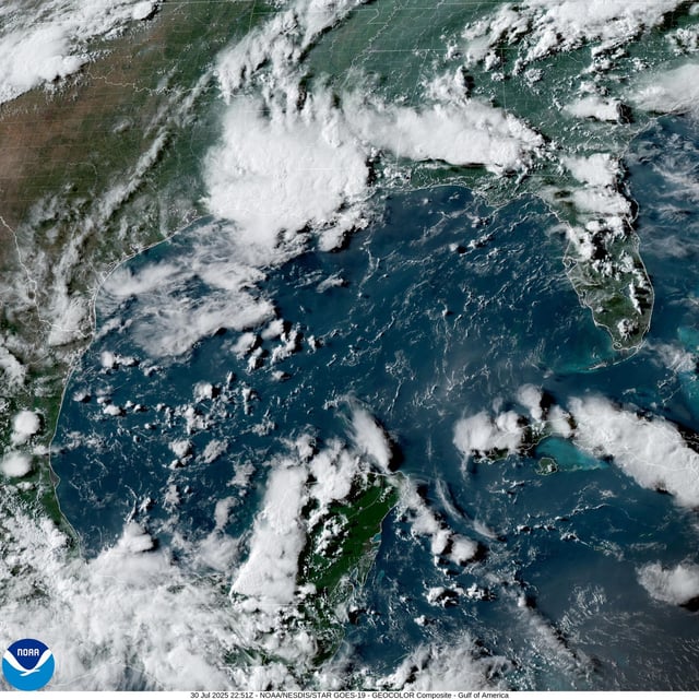
  • As of early August, the Atlantic tropics remain unusually quiet with no development expected through the first week
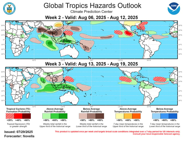
  • Historical data show 86–90 percent of tropical activity occurs after August 1, peaking around September 10 and spanning mid-August to mid-October
  • Record-warm sea surface temperatures, low wind shear and a strong West African monsoon have created conditions that fuel rapid intensification in about one-third of storms
  • Officials from Texas to Long Island urge residents to finalize evacuation plans, secure flood insurance and stock emergency supplies