

Overview
- As of Tuesday morning, scattered showers and isolated storms persist, with flood watches in New England and severe thunderstorm warnings in parts of Ohio.
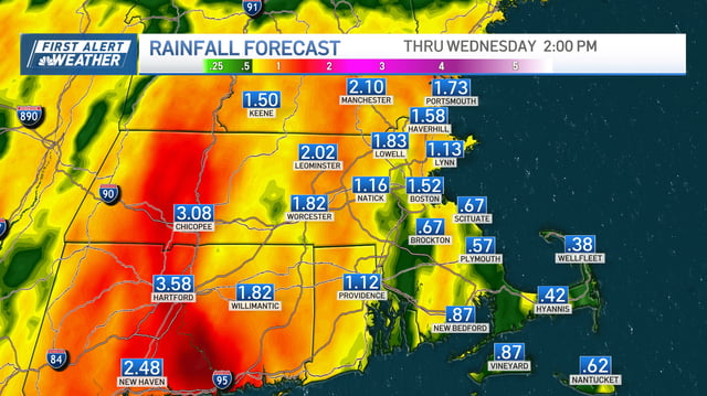
- Rainfall totals in Ohio are nearing 0.5–1.5 inches, while parts of New England could see up to 4–5 inches, raising flash flood risks in vulnerable areas.
- Dense fog has reduced visibility to less than a quarter mile in parts of Ohio, posing additional travel hazards during morning commutes.
- Severe thunderstorm warnings are in effect in several Ohio counties, with risks of strong winds, hail, and isolated tornadoes reported Monday evening.
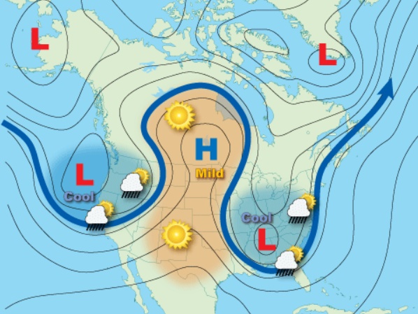
- The system is expected to lift out by Wednesday, bringing drier, sunnier, and warmer weather to the region by Thursday and Friday.