
Overview
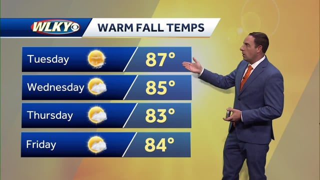
- Forecasts call for widespread 80s with pockets of 90s through late week, with Omaha and the Twin Cities eyeing record or near‑record highs Friday and Saturday.
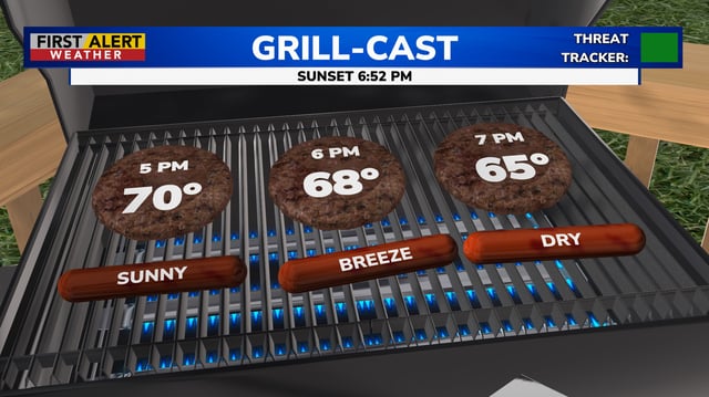
- New England turns windy and much cooler Wednesday and Thursday with highs near 60, patchy interior frost risk, and a quick warmup back to the 70s and 80s by the weekend.
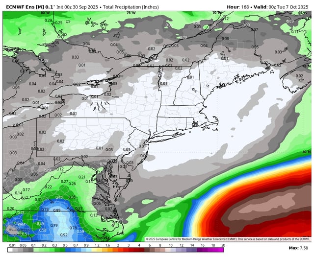
- Rain chances stay low for most areas through Saturday, with scattered showers and storms possible Sunday into Monday as a front brings a modest cooldown next week.
- Meteorologists attribute the pattern to a strong upper‑level high that keeps cooler Canadian air displaced and suppresses precipitation.
- Offshore hurricanes Humberto and Imelda steer away from the U.S., boosting surf and rip‑current risk, and Bermuda faces hurricane warnings as Imelda passes nearby.