Overview
- Widespread frost and freeze warnings are in effect tonight into Friday morning across parts of New England and the Northeast, with lows dropping into the 20s and 30s and an end to the growing season likely in many inland areas.
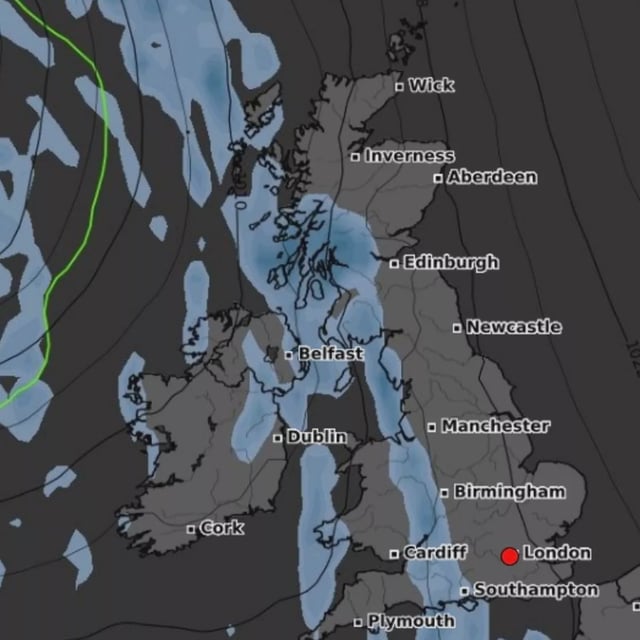
- A coastal low is projected to develop off the Carolinas and lift north late weekend, bringing periods of rain Sunday into Monday and a wetter, cooler pattern into early next week for the Mid-Atlantic and New England.
- Rainfall of 1–3 inches is forecast along the coast with locally higher totals possible, while onshore wind gusts could top 40–50+ mph near the shoreline, especially along exposed areas such as the Outer Banks.
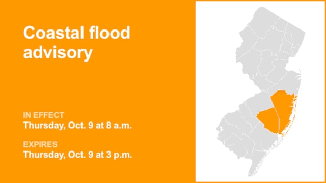
- Marine and coastal hazards are expected to increase, including very high surf, a high rip current risk, small-craft advisories, beach erosion and tidal flooding that may be amplified by higher astronomical tides.
- Regional contrasts persist as North Texas stays unusually warm and parts of Florida trend drier and cooler behind a front, and Tropical Storm Jerry is strengthening far out in the Atlantic with no U.S. landfall expected.


