Overview
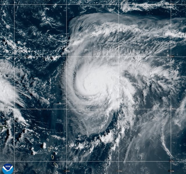
- As of early Saturday, the system was near 21.9°N, 75.8°W moving northwest around 7–8 mph with 35 mph winds and a 90% chance of formation, according to the National Hurricane Center.
- Tropical storm warnings are in effect for the central and northwestern Bahamas, where the center is forecast to pass this weekend with heavy rain, flash flooding and 1–3 feet of storm surge.
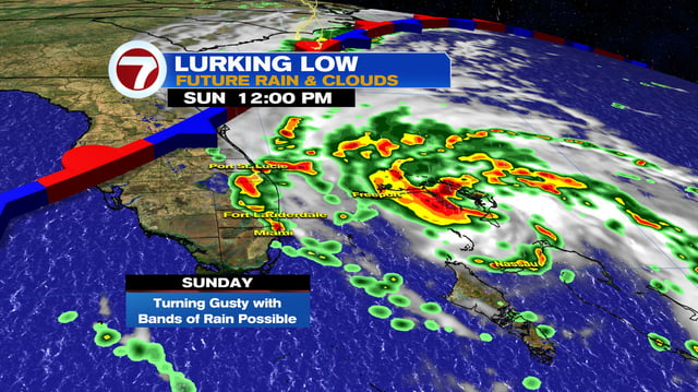
- Forecasts call for development into Tropical Storm Imelda by Sunday and potential hurricane strength by Monday or Tuesday as it nears the Southeast coast.
- Initial effects could reach coastal Georgia and the Carolinas as early as Monday, with greatest risks from flooding rain, onshore surge, rough surf and life‑threatening rip currents along Florida and the Southeast.
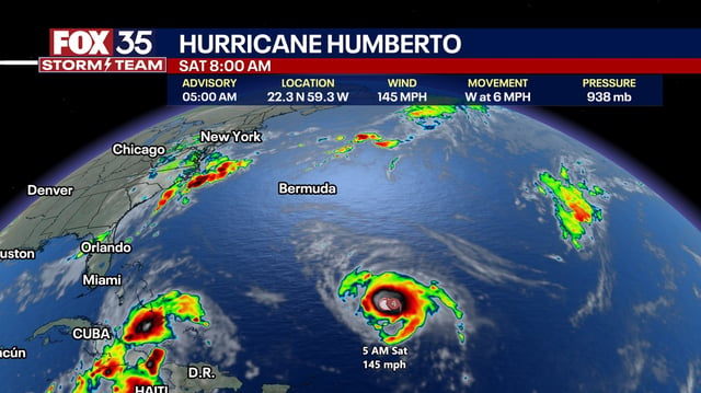
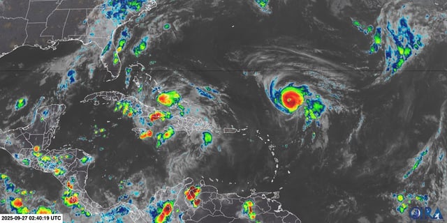
- Hurricane Humberto is a Category 4 at about 145 mph and expected to remain a major hurricane into next week, and its circulation may either pull the developing system offshore or allow a slower approach; South Carolina has declared a state of emergency to speed preparations.