Overview
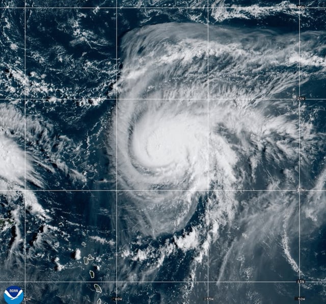
- National Hurricane Center advisories list maximum sustained winds near 35 mph and a 90% chance of development, with tropical storm warnings in effect for the central and northwestern Bahamas.
- The system is forecast to become Tropical Storm Imelda by early Sunday and could strengthen toward hurricane intensity by late Monday as it approaches the Southeast coast.
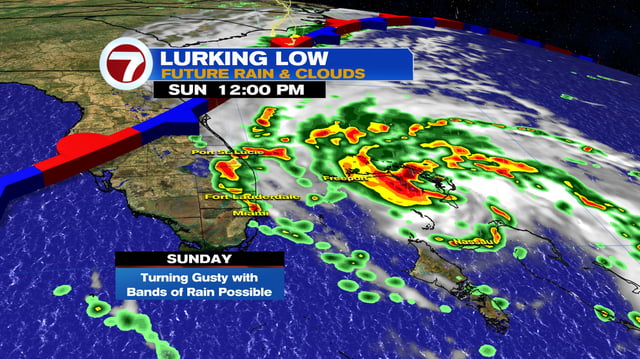
- Forecasters highlight flooding rain as the primary hazard, with scenarios ranging from an offshore stall that wrings out days of heavy rain to a potential landfall along Georgia or the Carolinas.
- South Carolina has declared a state of emergency as agencies prepare for storm surge, strong winds and significant rainfall, even as the track and speed remain uncertain.
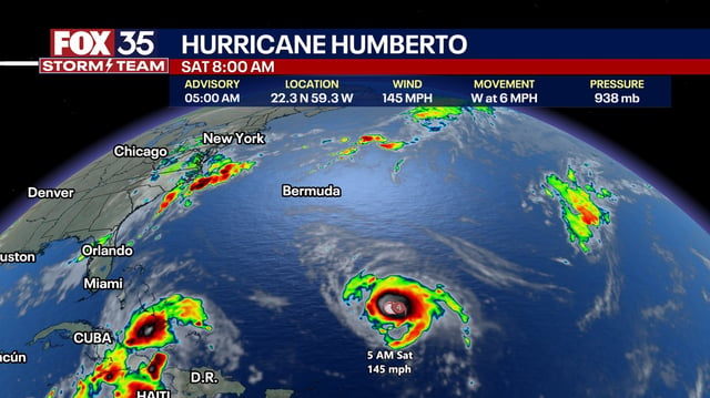
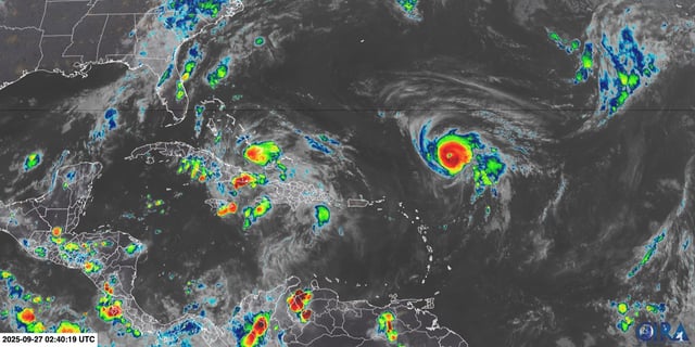
- Florida’s east coast is likely to avoid direct landfall but faces deteriorating marine conditions beginning late Sunday, including 6–8 foot breakers, dangerous rip currents and minor to moderate beach erosion as swells build from both the system and Hurricane Humberto.