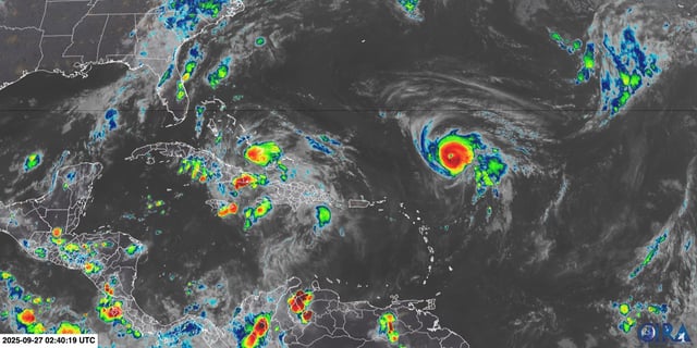
Overview
- The system is crossing the Bahamas this weekend with tropical storm warnings posted, and it is forecast to reach tropical-storm strength by early Sunday, which would earn the name Imelda.
- NHC guidance projects a north-northwest track toward the Southeast coast, with gradual intensification and the potential to reach hurricane strength by late Monday.
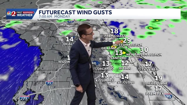
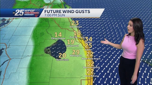
- Florida is not forecast to see a direct landfall, yet late Sunday into early week brings rough surf, dangerous rip currents, 6–8 foot breakers, and minor coastal erosion as long-period swells build.
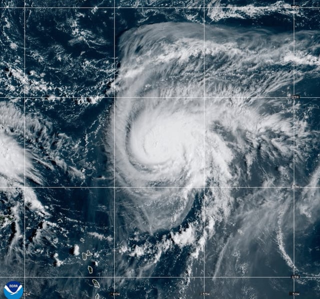
- Hazardous marine conditions will worsen as swells from this system combine with Category 4 Hurricane Humberto over the Atlantic, which is not a direct U.S. threat but will enhance surf and rip current risks.
- The highest U.S. risk window centers on coastal Georgia and the Carolinas starting Monday, with South Carolina declaring a state of emergency as forecasters warn of flooding rain, storm surge, and strong winds.