Overview
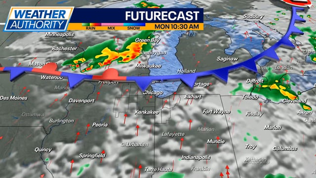
- Many regions expect a mild, mostly dry first day of fall on Monday before humidity and rain chances increase.
- Tuesday is highlighted as an impact day in several areas, with more widespread showers and thunderstorms and some spots topping an inch of rain by late Tuesday night.
- Parts of Oklahoma face a Level 2 of 5 severe risk Monday night into early Tuesday with damaging winds up to 60–70 mph, large hail, and a low tornado risk.
- Forecasts call for variable totals through late week, with 1–3 inches possible in places like Indiana that could offer modest drought relief.
- Subtropical moisture may bring lighter showers to Southern and Central California Tuesday into early Wednesday, while temperatures trend from brief early‑week 80s–90s toward more seasonable 70s midweek in many areas.


