Overview
- Northern California has seen daytime highs stuck in the 80s this July, with Sacramento recording only one 100°F day on July 11 and on track to tie a three-decade low.
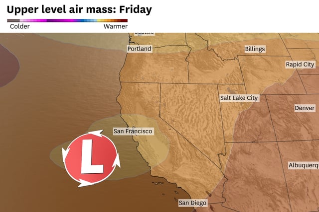
- An offshore cutoff low has strengthened onshore flow, enhancing the marine layer and Delta Breeze to maintain unseasonably cool valley and Bay Area temperatures.
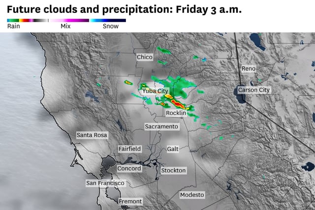
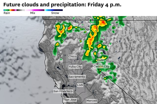
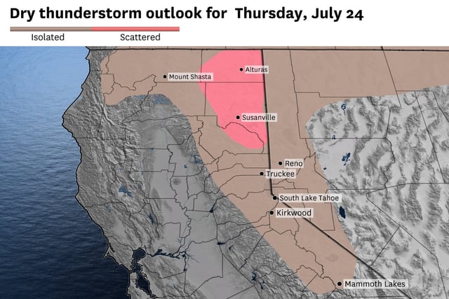
- Counterclockwise circulation around the low has spawned scattered Sierra thunderstorms that produced hail and dry lightning, elevating fire danger in the Trinity Alps, Klamath Mountains and southern Cascades.
- The Climate Prediction Center’s latest outlook forecasts that below-average temperatures will continue for at least the next 6–10 days under the stalled cutoff low.
- Models show the cutoff low weakening this weekend and an eastern high pressure ridge building in early next week, allowing valley highs to rebound into the low 90s by Monday.