Overview
- NWS Cleveland expects scattered showers Sunday with the highest odds Sunday night into Monday across the Cleveland metro and nearby counties.
- Multiple rounds of showers and thunderstorms are forecast next week across parts of the Midwest, Great Lakes, and Northeast, offering needed rain after an unusually dry September.
- Some locations could collect around an inch or more through the week, with isolated pockets reaching 1–2 inches in heavier storms.
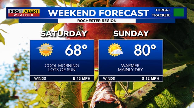
- Weekend conditions stay warm to hot in many areas before a post‑frontal cooldown returns temperatures to near seasonal levels by midweek.
- Widespread severe weather is not anticipated, though brief heavy downpours and gusty winds are possible; New England faces elevated fire danger and spotty frost before rain, and Tropical Storm Gabrielle is forecast to pass east of Bermuda with only minor surf impacts.


