

Overview
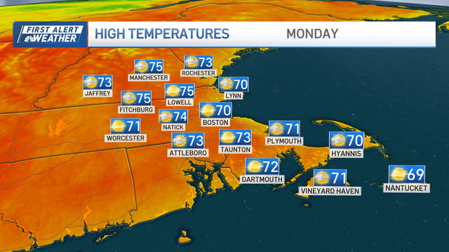
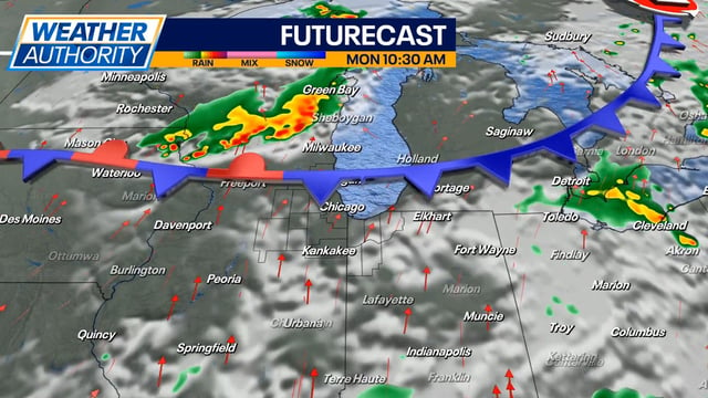
- After a warm start to Monday, increasing moisture and an approaching front will return scattered to widespread showers and thunderstorms through late week.
- Parts of Michigan sit under a marginal (level 1 of 5) severe risk, with gusty winds the primary concern.
- Forecasts from Indiana to Pennsylvania call for multiple rounds of rain, with some communities picking up roughly 1–3 inches by Friday, though totals will vary.
- A few stronger storms are possible in spots, producing heavy downpours, brief small hail and isolated damaging gusts.
- Temperatures trend from warm or hot to more seasonable behind the front, with patchy morning fog possible in some areas as humidity rises.