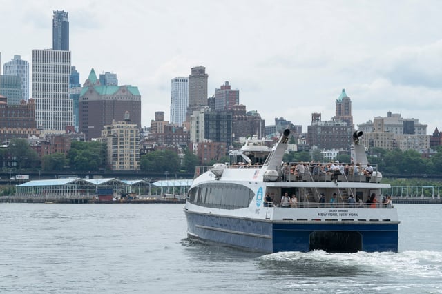
Overview
- Mid-July, the Economic Development Corp released the first system-wide route update proposal for NYC Ferry since its 2017 debut.
- The draft map adds stops at Bay Ridge, Atlantic Avenue and Wall Street on the St. George line to link Brooklyn and Staten Island for the first time.
- A proposed Bronx-to-Rockaways route covering about 33.5 miles is projected to save riders roughly 30 minutes of travel time.
- The plan splits the East River route into separate Brooklyn and Queens legs and merges the Soundview and Rockaways lines into a single Throgs Neck–Rockaways service.
- A summer survey is collecting rider feedback ahead of a September release of the final map and a winter rollout of the new routes.