Overview
- Etowah and St. Clair counties were warned until 4:15 p.m. CT of storms producing wind gusts up to 50 mph, with officials urging drivers to avoid flooded roads and seek sturdy shelter.
- Jackson County received a 3:11–4:15 p.m. CT alert for pea-sized hail and gusts up to 40 mph as a storm near Skyline moved east at 20 mph.
- Baldwin County was advised at 4:03 p.m. CT to expect marble-sized hail around 0.5 inches and gusts near 40 mph from a storm moving northwest at 10 mph.
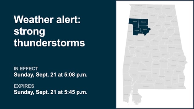
- Additional Alabama alerts covered Perry, Bibb, Chilton, Cleburne, Greene, Marion, Fayette, Winston and Walker counties, with gusts generally near 40 mph and the potential for downed limbs and unsecured debris.
- In Oregon, Malheur County was alerted late morning for a radar-tracked storm capable of 0.5-inch hail and 40 mph gusts moving east near Mendi Suri.