Overview
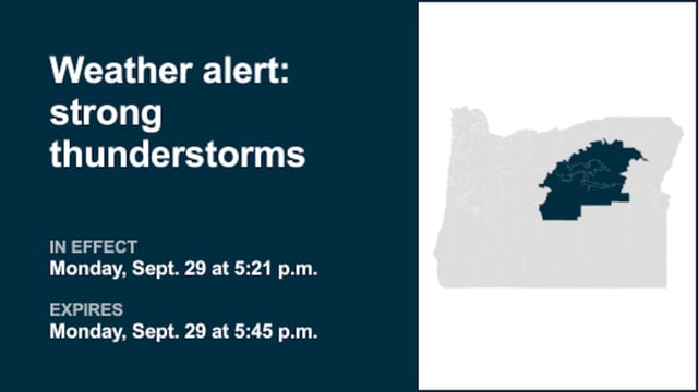
- At 2:44 p.m. Monday, the National Weather Service warned Harney and Malheur counties through 3:30 p.m. for marble‑size hail and wind gusts up to 40 mph.
- Doppler radar tracked a storm over Dunnean, 42 miles east of Burns, moving north at 25 mph with impacts noted near Venator, Mosquito Mountain, Warm Springs Reservoir, Swamp Creek Buttes and Riverside.
- At 4:21 p.m., NWS Hanford issued a Yosemite alert in effect until 4:45 p.m. for pea‑size hail and torrential rain capable of producing localized flooding.
- Radar located the Yosemite cell 13 miles north of Yosemite Valley, moving northeast at 20 mph, with the office noting minor hail damage to vegetation is possible.
- Forecasters reported frequent cloud‑to‑ground lightning that can strike up to 10 miles from a storm and advised seeking shelter and avoiding flooded roadways as storms may intensify.
