Overview
- Daytime highs across much of the Sacramento Valley remain up to 10 °F below normal, with most inland readings stuck in the 80s
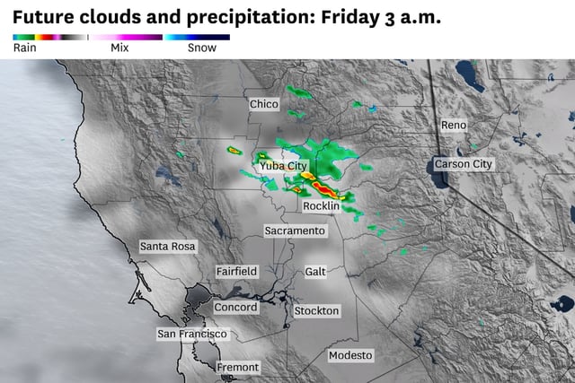
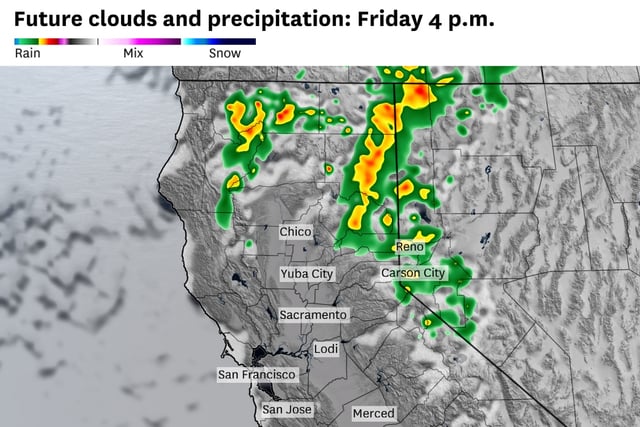
- Counterclockwise flow around a cutoff low is fueling daily Sierra thunderstorms that can produce hail, gusty winds and frequent lightning
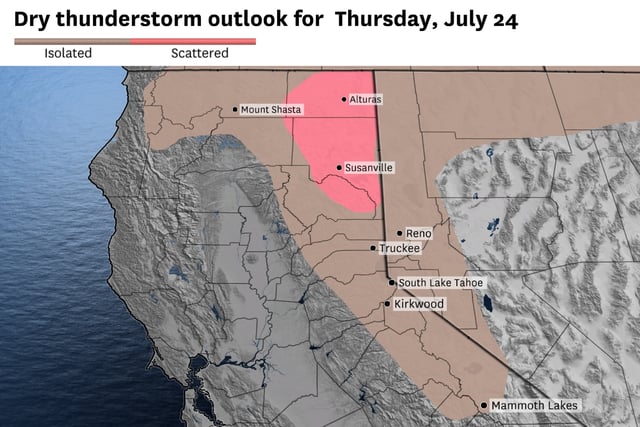
- The National Weather Service has issued red flag warnings in the Trinity Alps, Klamath Mountains and southern Cascades due to the danger of dry lightning igniting wildfires
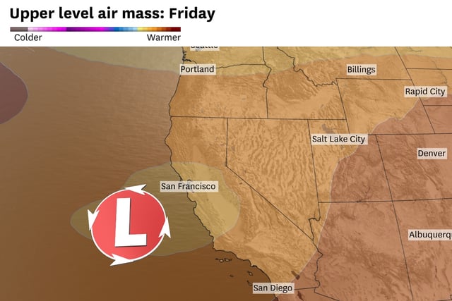
- A persistent marine layer reinforced by high pressure over the Gulf of Alaska and Four Corners continues to sustain the cool pattern and strong Delta Breezes
- Forecasts show the current low clearing by Sunday to allow valley highs into the low 90s next week, followed by another cutoff low forming offshore by midweek