
Overview
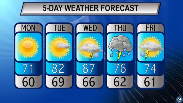
- Temperatures climbed into the mid- to upper-80s Wednesday afternoon, bringing a brief taste of summer to Northeast Ohio.
- Southerly winds cleared out Canadian wildfire smoke by daybreak, lifting the Air Quality Alert issued overnight.
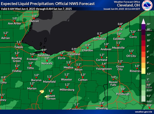
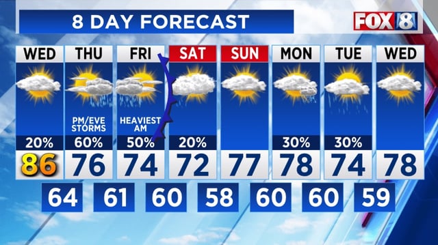
- A slow-moving cold front will bring scattered showers and thunderstorms from Wednesday night into Thursday with a marginal risk of excessive rainfall and localized flash flooding.
- Highs will fall back into the seasonable mid-70s on Thursday and Friday as cooler, drier air moves in behind the front.
- Forecasters predict fair weather over the weekend with sunny skies and highs in the low to mid-70s.