
Overview
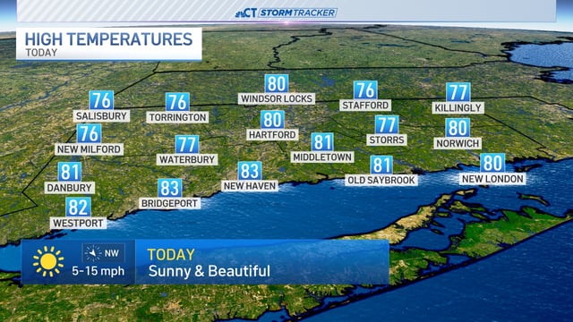
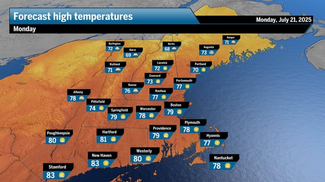
- The National Weather Service predicts highs in the upper 70s with low humidity under sunny skies today.
- Sunday night’s cold front will send overnight lows into the upper 50s and lower 60s.
- Northerly winds could transport smoke from Canadian wildfires into the region, causing hazy or milky skies.
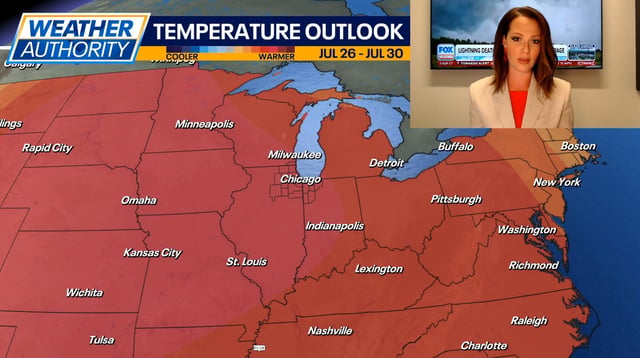
- Heat and humidity are set to return Wednesday through Friday with highs near 90 °F and heat indices exceeding 100 °F.
- A weak frontal boundary late in the workweek will increase the chance of showers and thunderstorms into the weekend.