
Overview
- Highs have fallen into the lower and mid-90s under a stalled front following late-July triple-digit records.
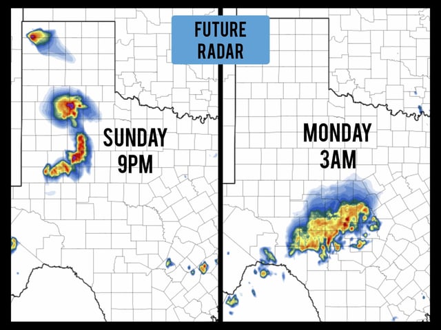
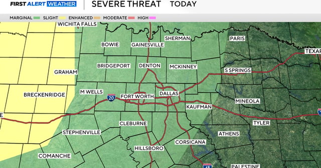
- Scattered showers and thunderstorms have prompted a Level 2 slight flood risk north of I-20 and east of I-35 from gusty winds and heavy downpours.
- The Climate Prediction Center’s 6–10 day outlook assigns a 60–70% chance of above-normal temperatures for August 5–9, suggesting a return to hotter conditions.
- Forecast models show a building high-pressure ridge by midweek that will dry skies and drive daytime highs back toward 100°F by week’s end.
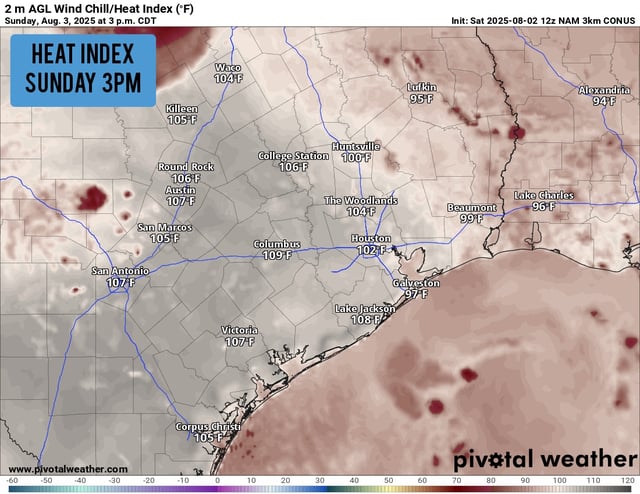
- August is climatologically the hottest month in North Texas with an average high near 96°F and typically minimal rainfall, highlighting the impact of any weather shifts.