Overview
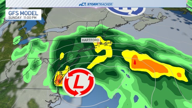
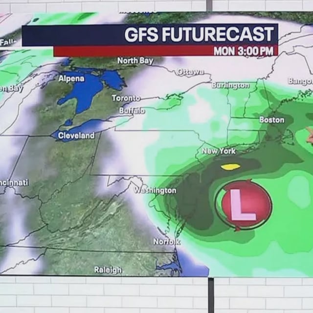
- An area of low pressure is expected to form near the Southeast U.S. coast on Saturday before tracking north along or just offshore the East Coast.
- The highest impacts are projected Sunday night into Monday, with wind gusts near 40 mph possible and around an inch of rain, potentially higher in spots.
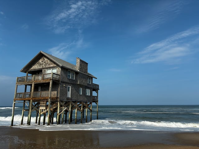
- Forecasters flag a risk of coastal flooding at high tide along shoreline communities, with rough surf and dangerous rip currents possible.
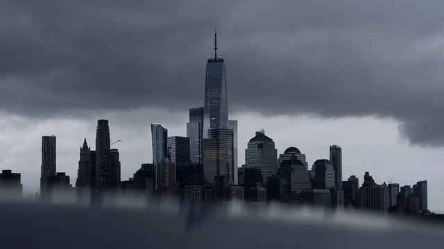
- New York City and the broader tri-state area could see significant effects depending on the storm’s exact track and timing.
- Local meteorologists advise preparation for potential outages and flooding, urging residents to fuel generators, charge devices, secure outdoor items, and stock water and nonperishable food.