Overview
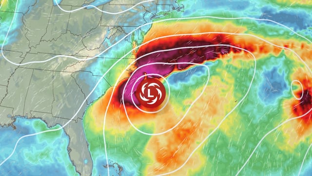
- The Weather Prediction Center warns the developing coastal storm could become a significant nor’easter with impactful rain, wind and surf along parts of the East Coast.
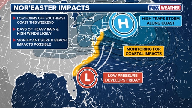
- National Weather Service offices highlight rough surf, dangerous rip currents, strong gusts and coastal flooding risks from Florida through the Carolinas and into the mid-Atlantic.
- Two main scenarios are in play: a low that lingers near the Carolinas through at least Tuesday or a faster northward track that shortens the event but extends rain and wind into the mid-Atlantic and New England.
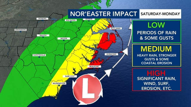
- Eastern North Carolina, especially the Outer Banks, could see several inches of rain with local totals near 6 inches, gusts up to about 50 mph and multi-day inundation of 2 to 4 feet on already eroded shorelines.
- Formation is expected Saturday with the most widespread impacts Sunday into Monday, and with no cold air in place along the Interstate 95 corridor, precipitation is forecast to fall as rain.