Overview
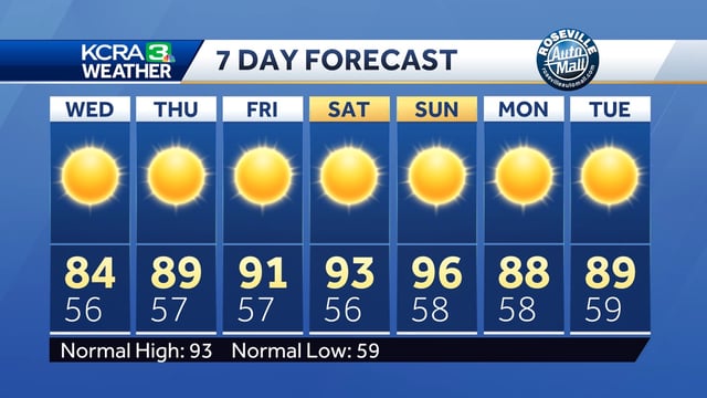
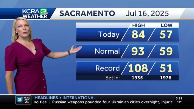
- A flattened jet stream and a stronger-than-normal North Pacific High have stirred cooler coastal waters and reinforced the marine layer and delta breezes that keep valley highs in the 80s to low 90s.
- Forecast models show valley highs warming back into the low 90s by Friday and climbing into the mid-90s over the weekend before another cool system brings highs back into the 80s early next week.
- Inland spots such as Redding and Fresno may see brief triple-digit spikes but those hot spells will be short-lived due to persistent onshore flow.
- A stray thunderstorm is possible Wednesday in Mono County with dry conditions elsewhere across Northern California through the week.
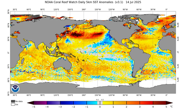
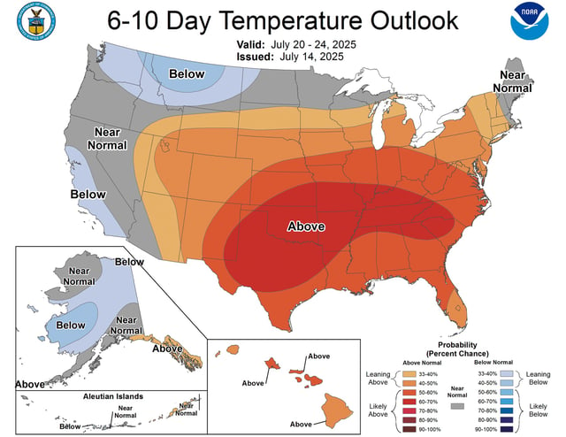
- Cooler temperatures have lowered fire weather risks with forecast data indicating statewide highs staying below average through the end of July.