
Overview
- NOAA and the U.S. Climate Prediction Center report La Niña is now present, likely weak, formed last month, and is favored to last into February 2026.
- A vast North Pacific marine heatwave is already influencing West Coast weather and could nudge the jet stream north, favor a wetter Pacific Northwest, and tilt toward a milder early U.S. winter, according to experts.
- Scientists caution that the combined effect of the warm North Pacific and a weak La Niña remains highly uncertain without targeted model runs, leaving detailed U.S. winter outcomes unresolved.
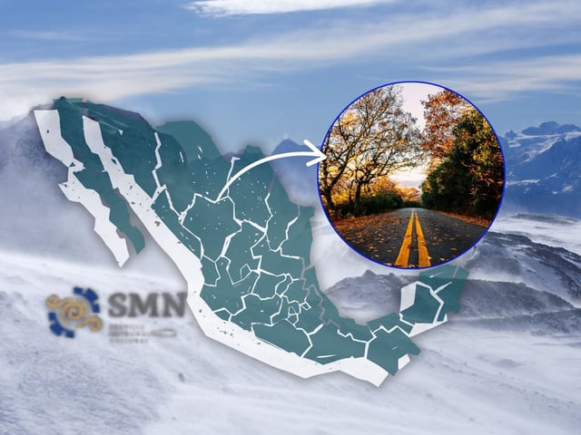
- Mexico’s national forecasters project 48 cold fronts this season versus a 50‑front average and expect a less cold 2025–2026 winter linked to current La Niña conditions.
- In southern South America, historical La Niña dryness risks put Argentina’s soybean and corn harvests on watch, though analysts note the weak event could limit typical impacts.