
Overview
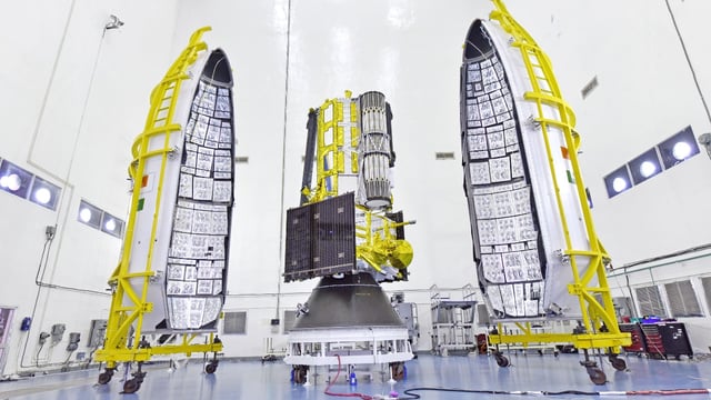
- The 2,392-kg NISAR observatory was secured atop a GSLV-F16 rocket at Sriharikota and cleared all systems for its July 30, 17:40 IST launch into a 743 km sun-synchronous orbit.
- Developed over a decade, the mission marks the first Earth-observation satellite built in partnership by ISRO and NASA and the first GSLV launch into sun-synchronous orbit.
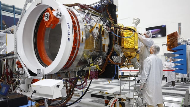
- NISAR’s dual L-band and S-band radars use a 12-metre unfurlable mesh reflector to achieve high-resolution, wide-swath SweepSAR imaging of land and ice.
- The satellite will scan global surfaces every 12 days regardless of weather or daylight, detecting ground deformation, ice dynamics, vegetation changes and more.
- All NISAR data will be freely available within two days of acquisition with expedited delivery during emergencies to aid climate research, agriculture and disaster management.