
Overview
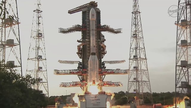
- NISAR launched on July 30 into a 747 km sun-synchronous orbit and has entered a 90-day in-orbit commissioning phase
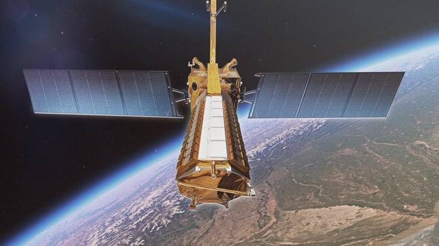
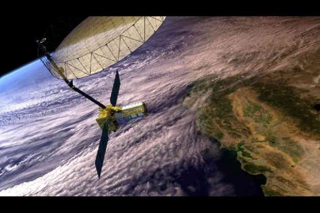
- Teams have extended its 12 m gold-plated mesh antenna and started calibrating L-band and S-band radars for centimeter-scale surface mapping
- Initial tests have shown the satellite’s cloud-penetrating radar can reveal flooded areas and detect tiny surface shifts under all weather and light conditions
- The mission marks the first equal hardware collaboration between NASA and ISRO and will support disaster response, climate research and ecosystem assessment over a three-year primary mission
- The Alaska Satellite Facility and partner centers are preparing cloud-based systems to archive and distribute tens of petabytes of open-access SAR data each year