Overview
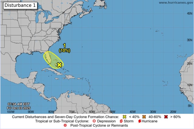
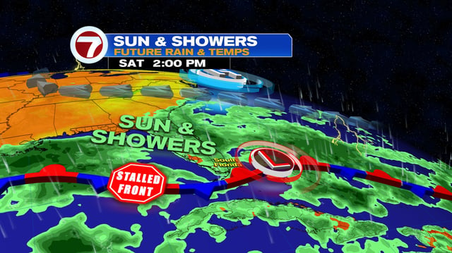
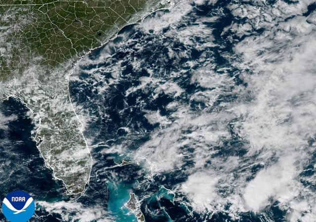
- A weak low near the Bahamas and Florida will meander over the peninsula through the weekend with only a 10% chance of tropical cyclone formation over seven days, according to the National Hurricane Center.
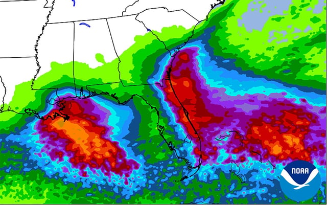
- Forecasters expect frequent downpours and thunderstorms with 2–3 inches common and isolated 4–6 inches along Florida’s east coast, prompting concern for localized urban flooding.
- The National Weather Service has issued flood watches for parts of east-central Florida alongside high surf and rip current advisories, with beach erosion and hazardous boating conditions ongoing.
- A tropical wave emerging from Africa now carries a 30%–50% seven‑day chance of development, and a tropical depression could form near or east of the Lesser Antilles by late next week, though model guidance remains divergent.
- Imelda has moved away and dissipated, yet elevated swells from recent storms continue to impact the U.S. East Coast, compounding coastal hazards.