Overview
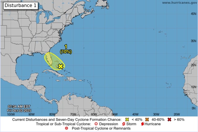
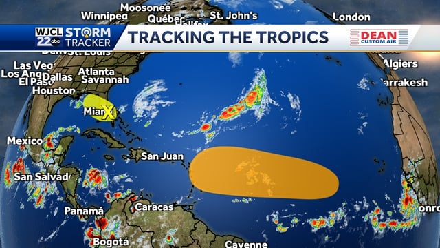
- A weak low near the northwestern Bahamas and South Florida has a 10% chance of development through seven days as it meanders near the peninsula and drifts toward the Gulf, with strong upper-level winds limiting organization, according to the National Hurricane Center.
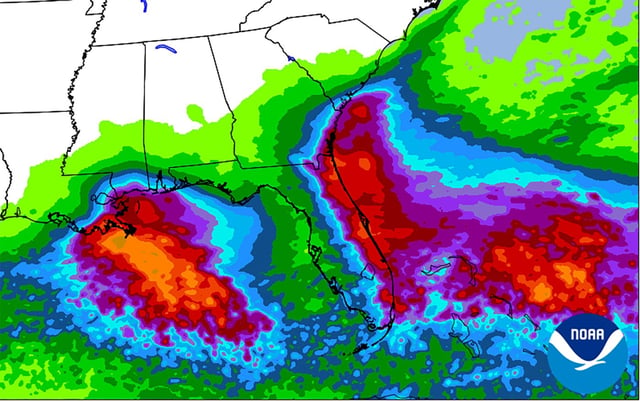
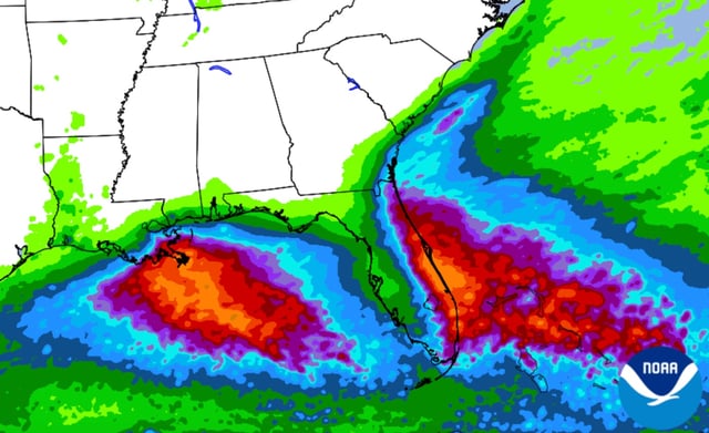
- The National Weather Service expects rounds of heavy showers and localized urban flooding, with 2–3 inches common along Florida’s east coast and isolated 4–6 inches; flood watches, high surf and rip-current advisories are posted in parts of East-Central and South Florida.
- The NHC raised seven-day formation odds to about 40% for a tropical wave moving off Africa, noting environmental conditions could allow a tropical depression to form near or east of the Lesser Antilles by late next week.
- Imelda has dissipated after striking Bermuda, but hazardous surf and life-threatening rip currents continue for Bermuda, the Bahamas and much of the U.S. East Coast, with forecasters warning of large breakers and beach erosion.
- Seasonal outlooks from CSU and NOAA, along with warmer-than-average sea-surface temperatures and periods of lower wind shear, point to the potential for an active October even as forecast confidence beyond a week remains limited.