


Overview
- The tropical wave is in the eastern to central Atlantic near the Cabo Verde region and moving west-northwest at 10–15 mph.
- The National Hurricane Center pegs formation odds at 10% in 48 hours and 70% over seven days, with a tropical depression likely by mid to late week.
- Forecast models show a wide range of tracks, though many favor a northward turn that would reduce the chance of a farther‑west path toward the U.S.
- South Florida is forecast to see higher rain chances midweek, with the Weather Prediction Center placing the area under a Marginal Risk for excessive rainfall Wednesday and king tides bringing minor coastal flooding near high tide.
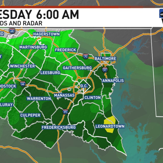
- A separate non-tropical coastal low is expected to deliver periods of rain, breezy onshore flow, rough surf, and rip current risks to parts of the Carolinas and the Mid-Atlantic early this week.