Particle.news

Download on the App Store

NHC Raises Development Odds for Florida Low as Heavy Rains Approach

It is moving into the northeastern Gulf with heavy rainfall likely to trigger flash floods along the Florida and north-central Gulf coasts

A map from the National Hurricane Center shows a risk area near Florida, Alabama, Mississippi and Louisiana amid a low-pressure system that could strengthen into a tropical storm.
The tropical outlook as of 2 p.m. Saturday, July 12, 2025. (NHC)
Image
The National Hurricane Center is monitoring a system of low atmospheric pressure, seen as a cluster of clouds Monday morning in this weather satellite photo of Florida's Atlantic coast. Forecasters are watching for potential tropical development as the low pressure system moves into the northeastern Gulf of Mexico through Tuesday.

Overview

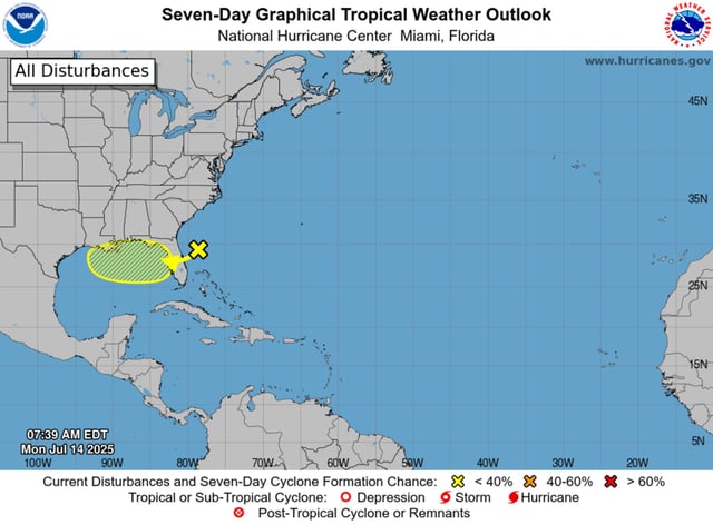
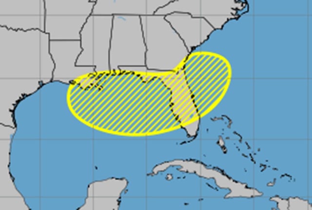
  • The NHC’s 8 a.m. outlook bumped the system’s chances to 10% over 48 hours and 30% over seven days as it tracks westward across the peninsula into the Gulf.
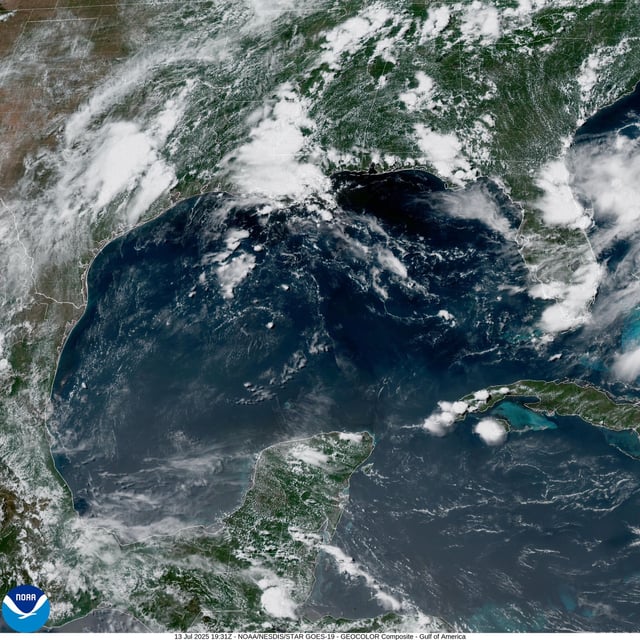
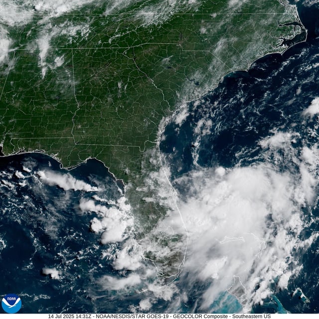
  • Forecasters warn that heavy rain could produce localized flash flooding through midweek regardless of whether the disturbance becomes a cyclone.
  • If the low strengthens into a tropical storm it would be named Dexter, though confidence remains low due to marginal environmental conditions.
  • The trough is expected to cross Florida by Tuesday before entering the northeastern Gulf where warm waters and light wind shear could support gradual development.
  • NOAA projects an above-normal 2025 hurricane season while Colorado State University has slightly reduced its earlier storm forecast.