Overview
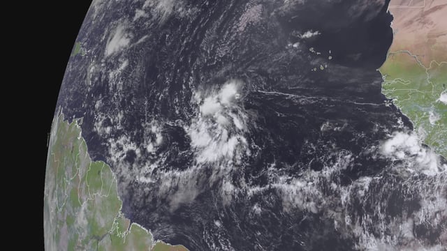
- The National Hurricane Center pegs development chances at 50% in 48 hours and 70% within a week, with a tropical depression or storm possible by Thursday.
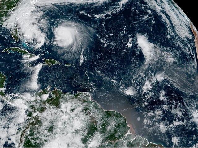
- Invest 95L is moving west-northwest across the central Atlantic and is projected to approach the northeastern Leewards Thursday or Friday before likely recurving.
- Favorable factors include moderate shear of 10–15 knots, sea-surface temperatures near 29°C and a moist mid-level environment supporting organization.
- Track and intensity remain uncertain, with model outcomes ranging from a weak tropical depression to a strong hurricane until the core consolidates.
- Even if the center passes north of the islands, heavy rain and strong winds are possible in the Leewards, and Bermuda may need to monitor the system, while a frontal pattern should steer it away from the U.S. mainland.

