Overview
- Tropical Storm Jerry is no longer expected to become a hurricane, with forecasters noting little chance of significant strengthening and the potential for weakening.
- Rainfall of 2–4 inches with localized higher amounts is triggering a flash‑flood risk across the Leeward and Virgin Islands, and hazardous rip currents are ongoing.
- The center is passing north of the Leeward Islands today before turning north and then east into the open Atlantic, with a track well southeast of Bermuda on Sunday.
- Tropical‑storm alerts remain in effect for parts of the northern Leeward Islands as large swells and gusty winds spread across the region.
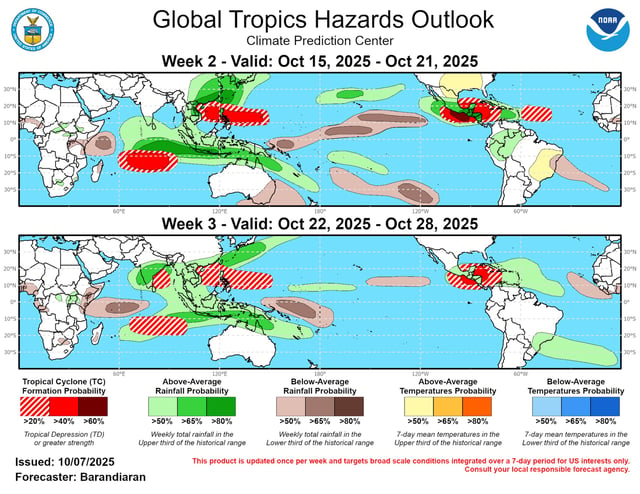
- Elsewhere, the NHC named Subtropical Storm Karen north‑northwest of the Azores, while a Bay of Campeche disturbance moved inland over southern Mexico with no development expected.


