Overview
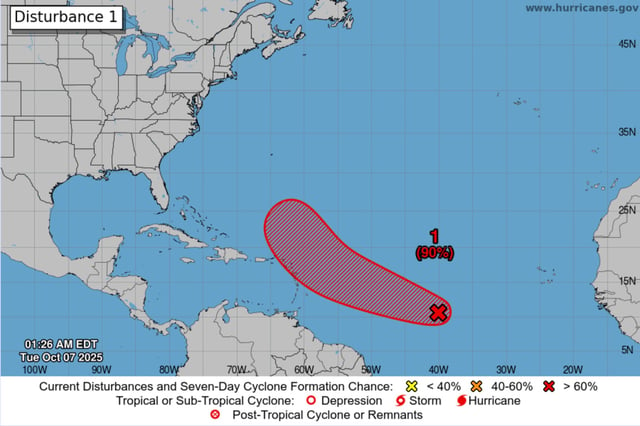
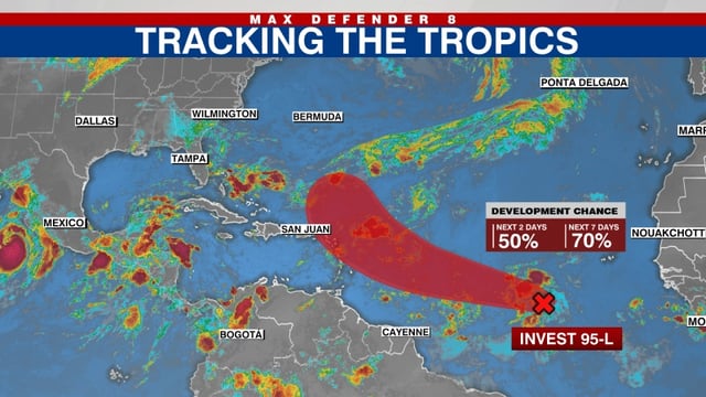
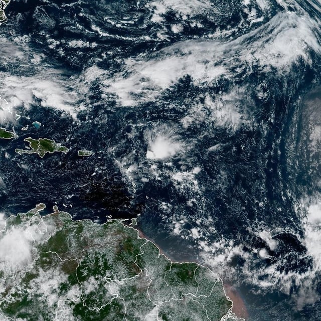
- Satellite data show a better-defined low about 1,500 miles east of the Windward Islands with increasing organization.
- The NHC pegs formation chances at 80% in 48 hours and 90% in seven days, with reconnaissance scheduled Wednesday and the next name on the list being Jerry.
- The system is moving west-northwest and is expected to pass near or north of the northern Leeward Islands on Thursday and Friday.
- Most forecast guidance indicates a turn into the open Atlantic, though intensity is uncertain with some models showing hurricane potential and dry air possibly limiting rapid strengthening.
- A separate disturbance near the Yucatán and Bay of Campeche has a 10% development chance and could bring heavy rain and gusty winds to the Yucatán, Belize and southern Mexico.