Overview
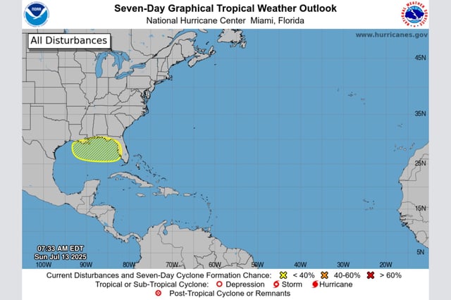
- The National Hurricane Center’s 8 a.m. outlook puts the system’s development chance at 10% over 48 hours and 30% over seven days.
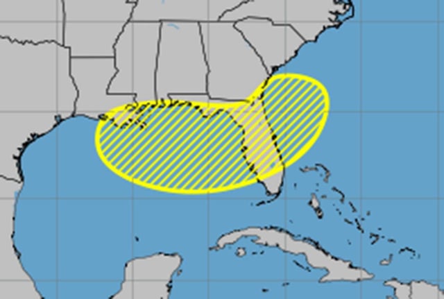
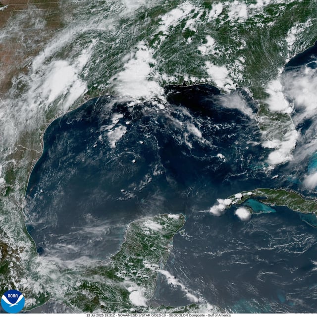
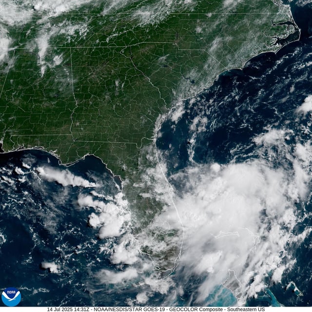
- A trough of low pressure is expected to move westward across the Florida peninsula into the northeastern Gulf by late Tuesday.
- Forecasts warn of heavy rainfall and localized flash flooding from Florida through the north-central Gulf Coast by mid- to late week regardless of cyclone formation.
- If the disturbance organizes into a named storm, it would be called Tropical Storm Dexter, the fourth of the season.
- NOAA’s above-normal 2025 season forecast of 13–19 named storms holds despite a slight CSU downgrade, as wind shear and Saharan dust continue to inhibit rapid development.