
Overview
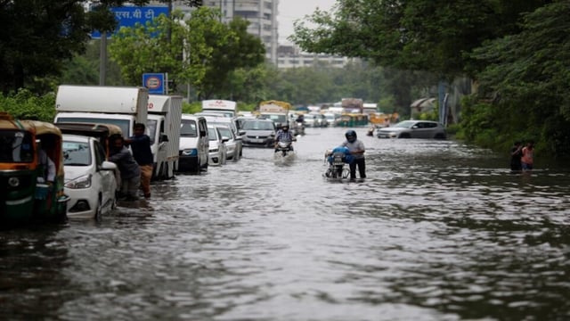
- NHAI began a 15-day countrywide inspection on June 23 to pinpoint highway stretches at risk of waterlogging, landslides and drainage blockages.
- Drone surveillance teams are mapping road slopes, pavement cracks and flood-prone areas to guide targeted maintenance operations.
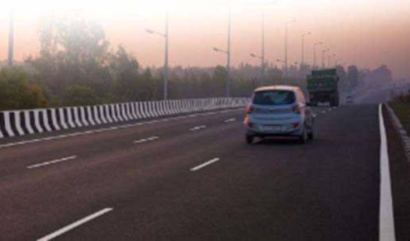
- AI-based Intelligent Traffic Management Systems now push live weather and traffic updates through the NHAI Rajmargyatra and IMD Meghdoot mobile apps.
- Prepositioned emergency equipment such as excavators, sandbags and signage supports 24×7 response squads stationed at vulnerable sites.
- Quick Response teams in field offices coordinate with local authorities and executing agencies to mobilise machinery on flood or landslide alerts.