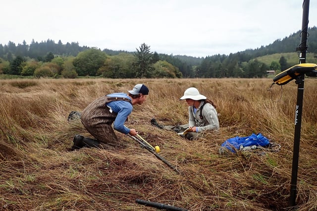
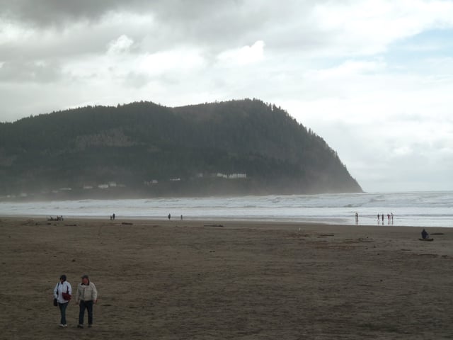
Particle.news

Download on the App Store

New Study Warns Cascadia Earthquake Could Triple Pacific Northwest Flood Risk by 2100

A magnitude-9 earthquake on the Cascadia Subduction Zone could cause land subsidence and, combined with sea-level rise, drastically expand floodplains, threatening communities and infrastructure.

Researchers conduct shallow sediment sampling in the Salmon River estuary in Oregon on Oct. 14, 2023. They are using gouge corers and GPS surveying equipment to document stratigraphy and land-level changes following past earthquakes and tsunamis.
People stroll on the misty beach of Seaside, Oregon, on March 19, 2011.
Centerville Beach in Humboldt County is seen in 2022. If a huge earthquake occurred along the Cascadia Subduction Zone, it could cause subsidence of up to 6 feet in coastal areas as far south as Humboldt Bay -- with major implications for flooding, according to a new study.
Image

Overview

  • A study published in PNAS reveals that a major Cascadia earthquake could cause coastal land to sink by up to 6½ feet, doubling current flood exposure immediately.
  • By 2100, the combined effects of earthquake-driven subsidence and sea-level rise could expand the floodplain by up to 143 square miles, tripling flood risk for residents, structures, and roads.
  • Over 14,000 additional residents, 22,500 structures, and 777 miles of roadways could fall within the floodplain if such an earthquake occurred today.
  • Critical infrastructure, including five airports, 18 emergency and education facilities, and eight wastewater treatment plants, would face heightened vulnerability to flooding.
  • Scientists urge federal, state, and local governments to revise flood maps and preparedness plans, emphasizing the need to address long-term subsidence risks and concerns over staffing cuts at Tsunami Warning Centers.