Overview
- Researchers have mapped over 550 miles of the Cascadia Subduction Zone, revealing four distinct segments.
- The data indicates that the fault's complexity could lead to independent or simultaneous ruptures, affecting earthquake magnitude and impact.
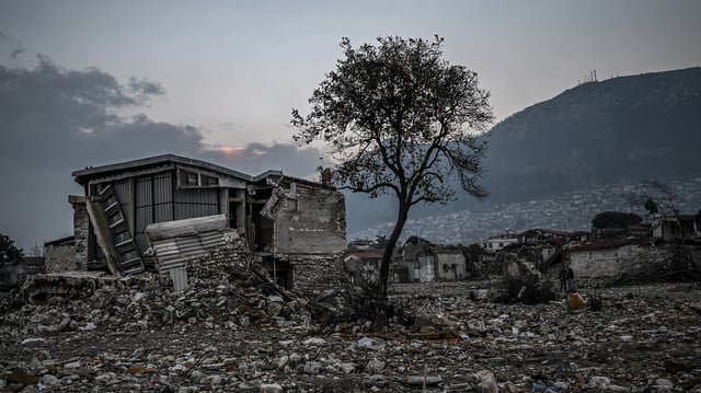
- The segment off Washington state and Vancouver Island is identified as the most dangerous due to its smoothness and shallow angle.
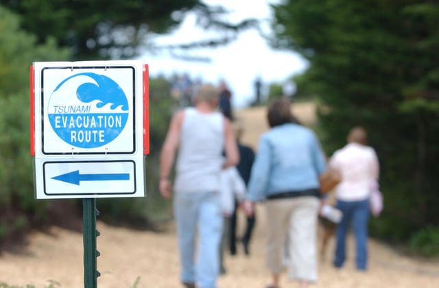
- Experts warn that the Pacific Northwest remains underprepared for a potential magnitude 9 earthquake and resulting tsunamis.
- The new findings will help improve earthquake and tsunami models, informing building codes and emergency planning.