Overview
- Environet’s Exposed map has compiled more than 100,000 verified Japanese knotweed records to pinpoint regional concentrations nationwide.
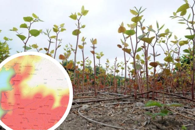
- Blackburn emerges as Lancashire’s worst hotspot with 774 confirmed sightings, making the county the fourth most affected in England.
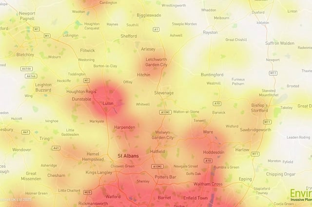
- Norwich (301), Reading (114), Watford (73) and Woking (68) register as the worst-hit towns in Norfolk, Berkshire, Hertfordshire and Surrey respectively.
- Tackling the invasive plant costs the UK economy nearly £250 million annually, with infestations cutting property values by about 5% under legal disclosure requirements.
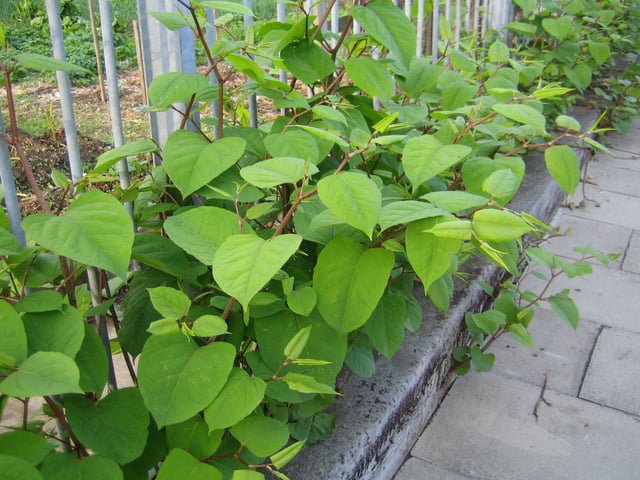
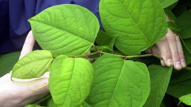
- Environet invites residents to submit photos for free identification and advises early treatment to prevent rhizomes from spreading up to 3 m deep and 7 m horizontally.