
Overview
- Analyses by NPR, PBS’s FRONTLINE, First Street and ICEYE found FEMA underestimated flood hazards at Camp Mystic by more than twofold.
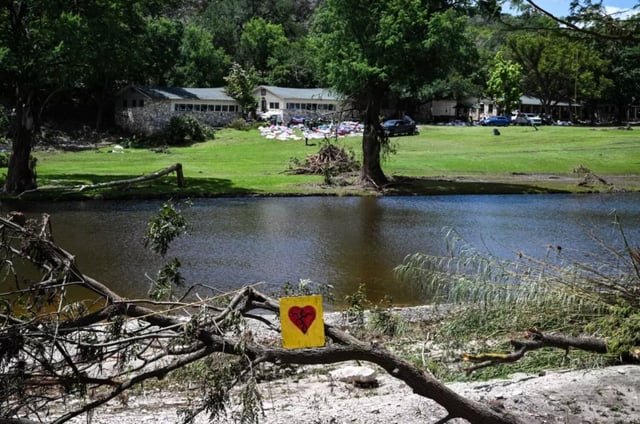
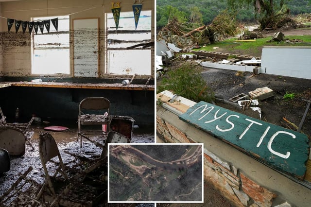
- Satellite data show July 4 flash floods at Camp Mystic breached FEMA’s mapped floodway by over 200 feet, overrunning eight buildings including four youth cabins.
- A First Street nationwide assessment indicates more than twice as many U.S. homes lie in flood-prone areas than FEMA’s century-old mapping recognizes.
- FEMA’s flood maps have depended on coastal storm surge and large-river data since the 1960s and lack the mandate and budget to include rainfall-driven flash-flood models.
- Floodplain experts and policymakers are pressing Congress and FEMA to mandate and fund a mapping overhaul that integrates modern flash-flood risk data.