

Overview
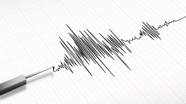
- The US Geological Survey and GFZ recorded a 5.1–5.2 magnitude quake at a depth of 10 km about 35 km southwest of Semnan on June 20, with Iranian media reporting only minimal damage and no casualties.
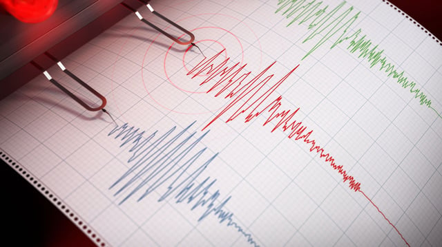
- Experts from the USGS, CTBTO and independent seismologists agree the tremor was a natural tectonic event, dispelling rumors of underground nuclear or military testing near sensitive sites.
- Iran’s high seismic activity reflects its position on the Alpine–Himalayan belt, where the Arabian and Eurasian plates converge and generate frequent quakes.
- Since June 13, the Israeli Defense Forces have intensified airstrikes on Iranian nuclear and military facilities, including Natanz, Fordo and the inactive Arak reactor.
- IAEA Director General Rafael Grossi warned the UN Security Council that attacks on nuclear installations risk radioactive releases and jeopardize regional safety.