Overview
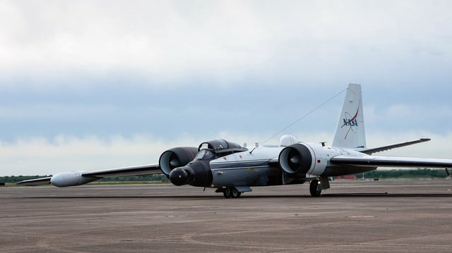
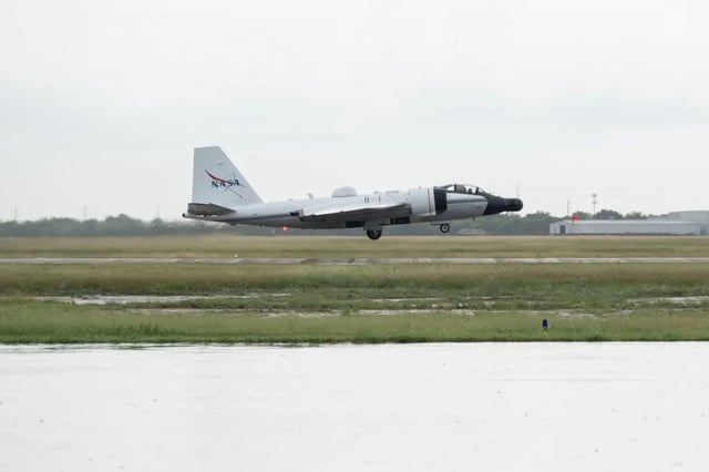
- On July 8, a WB-57 jet equipped with the DyNAMITE sensor departed Ellington Field to capture high-resolution optical video mosaics of the Guadalupe River corridor.
- Beginning July 9, UAVSAR radar flights aboard a Gulfstream III have been scanning the Guadalupe, San Gabriel and Colorado river basins to detect floodwaters concealed by vegetation.
- Processed imagery and flood-extent models are uploaded to the NASA Disasters Mapping Portal within hours, enabling up-to-date situational awareness.
- NASA’s Disasters Response Coordination System is coordinating flight operations and data delivery with FEMA, the Texas Division of Emergency Management and local responders.
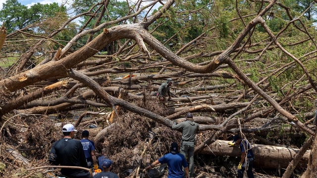
- Emergency teams are using these live flood maps and infrastructure damage assessments to prioritize search, rescue and resource deployment across the Texas Hill Country.