Overview
- The BMC received an IIT Bombay alert on August 17 flagging zones likely to see over 200 mm of rain, enabling targeted pump deployment and staff positioning before the August 18–19 downpour.
- The mumbaiflood.in model produces real-time 90-minute nowcasts from IMD Doppler radar and offers hyperlocal forecasts for up to three days using AI-augmented global models.
- Citizens can submit waterlogging depth and location via the website or mobile app, with inputs synced to Google Maps for rapid situational updates.
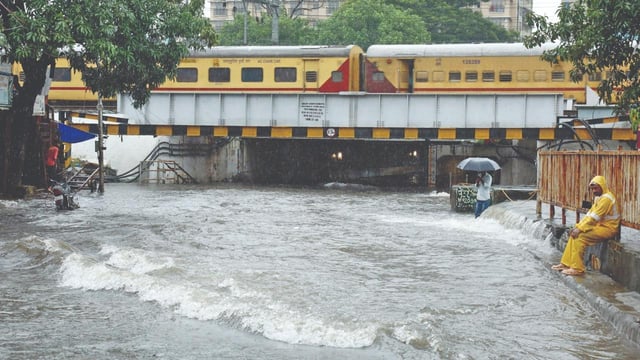
- Nine water-level monitoring stations at known hotspots feed near-real-time flooding data, including for areas near major rail stations.
- The public portal, created by PhD researcher Puja Tripathy, is being used on a pilot basis as IIT Bombay and the civic body work to refine forecasts and identify additional hotspots.