Overview
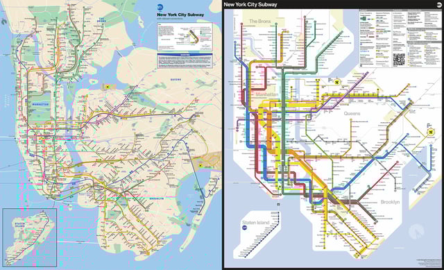
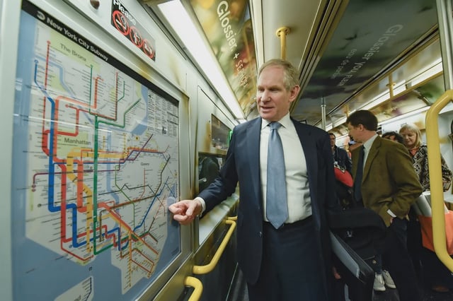
- The Metropolitan Transportation Authority (MTA) officially unveiled its first fully redesigned subway map since 1979 on April 2, 2025, with installations across subway cars and stations underway.
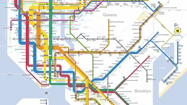
- The updated map includes brighter colors, straight bold lines, and a white background to improve readability, along with corrections like resizing Central Park to reflect its actual scale.
- Additional transit systems, such as the Long Island Rail Road, Metro North, Amtrak, and PATH routes, are now integrated into the map for better regional connectivity.
- Accessibility enhancements include clear identification of accessible stations and free out-of-station transfer hubs, informed by feedback from rider focus groups.
- Public response has been mixed, with some riders praising the modernized design while others criticize its geographic distortions and perceived complexity.