Overview
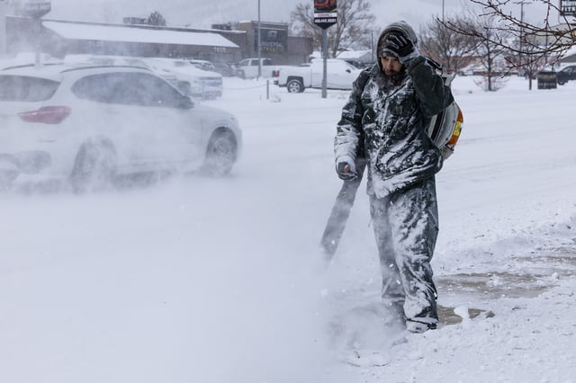
- The National Weather Service has issued a winter storm watch from Saturday afternoon through Sunday morning for northwest Montana.
- Mountaintop areas above 6,000 feet could receive 12 to 24 inches of heavy, wet snow with up to 6 inches falling at lower elevations.
- Wind gusts up to 45 miles per hour may bring down trees and knock out power lines.
- Drivers on Going-to-the-Sun Road, Looking Glass Road and U.S. Highway 89 over the Hudson Bay Divide are likely to encounter dangerous travel conditions.
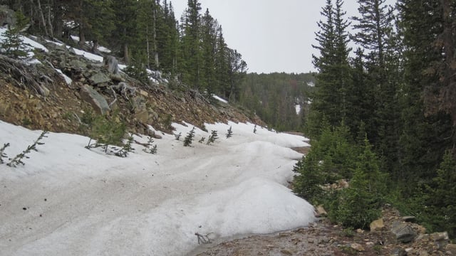
- Backcountry recreation is expected to be difficult due to low visibility and deep snow, increasing risks of hypothermia and debris slides.