

Overview
- Mexico’s meteorological service reports the monsoon, low‑pressure channels and tropical wave No. 25 will trigger very strong to intense rains across multiple regions with risks of flooding, landslides, river rises and reduced visibility.
- Mexico City and the State of Mexico remain in a multi‑day heavy‑rain episode, with local red alerts and SMN guidance of 25–50 mm per hour expected on Saturday, most likely from late afternoon into the night.
- Conagua warns of extreme temperatures near or above 45°C in northwest Sonora and northeast Baja California, with thunderstorms, strong winds and lightning also possible through the weekend.
- In the Pacific Center, SMN forecasts intense rainfall for Jalisco and strong storms in surrounding states, with potential hail, frequent lightning and gusts near 45 km/h that could swell rivers and trigger flooding or slope failures.
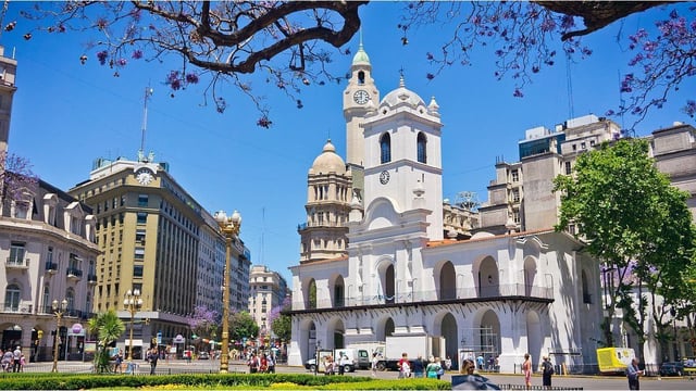
- Beyond Mexico, Argentina’s Buenos Aires metro turns cool and mostly dry even as national alerts flag storms, snow and strong winds elsewhere, and the U.S. National Weather Service maintains heat advisories for the Los Angeles area with hot, sunny conditions.