

Overview
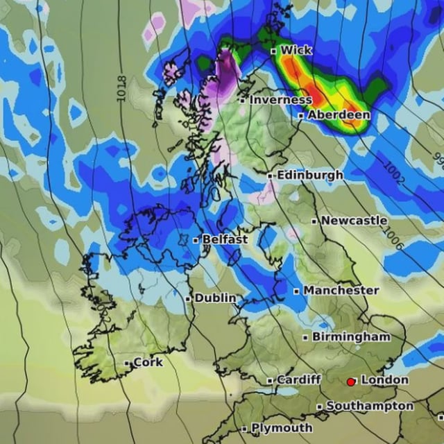
- GFS-based charts visualised by WX Charts indicate brief snow showers over parts of the Scottish Highlands and northern Argyll and Bute around October 7–8, with rates near 3 cm per hour but only about 1 cm likely to settle in many places.
- Locations highlighted in the early signal include Glencoe, Ben Nevis, Invergarry, areas west of Fort William, and the Cairngorms, with another pulse suggested on the evening of October 8.
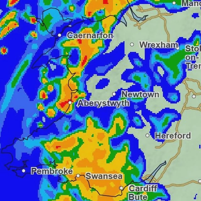
- Newer model runs point to a possible second episode on October 13 with pockets up to roughly 4 cm per hour in Scotland and lighter flurries potentially reaching the Pennines, though widespread settling outside northern Scotland is not indicated.
- The Met Office outlook favors spells of rain and strong winds for northwestern areas and relatively drier conditions in the southeast, with daytime temperatures near or slightly above average and a chance of chilly nights and fog in the south.
- Hurricane Humbert is expected to transition over the North Atlantic and influence the UK pattern, yet officials caution that further tropical activity could alter timing and extent of any wet, windy or wintry episodes.