
Overview
- Latest GFS runs point to snow potential in Scotland, with up to 4 cm per hour on October 13 and around 1 cm settling in parts of northern and central areas, and lighter flurries possible over the Pennines.
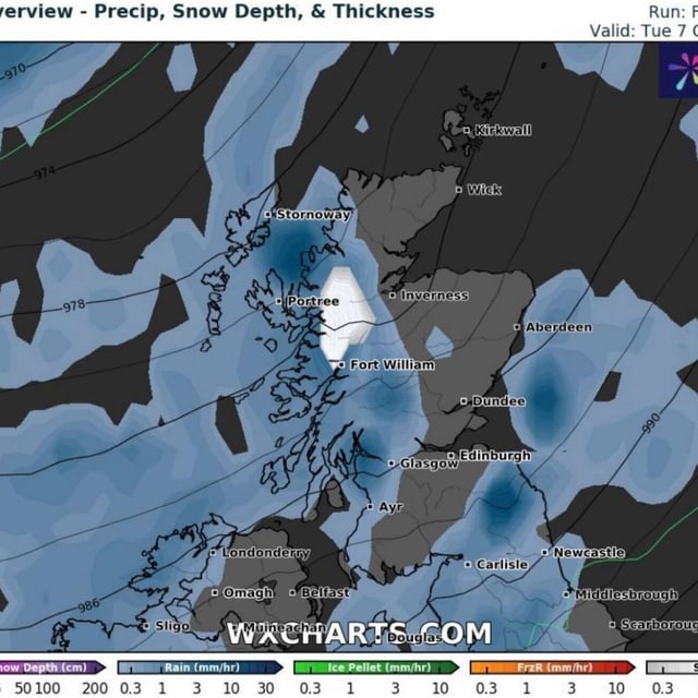
- Earlier model snapshots also indicated brief, locally intense snowfall around October 7 in the Highlands, including areas near Glencoe, Ben Nevis, Invergarry and parts of the Cairngorms.
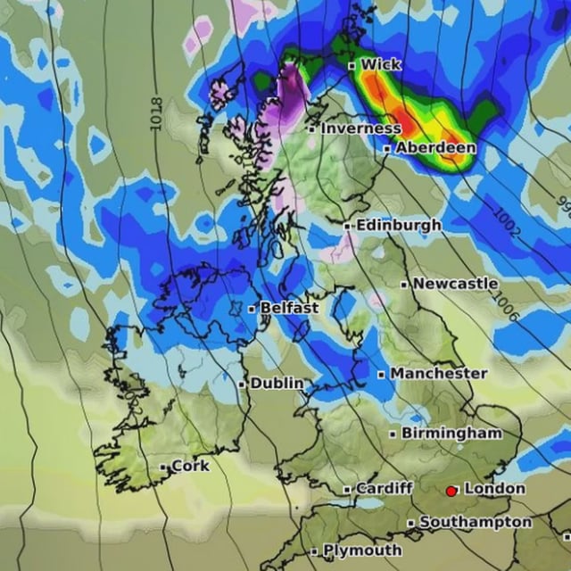
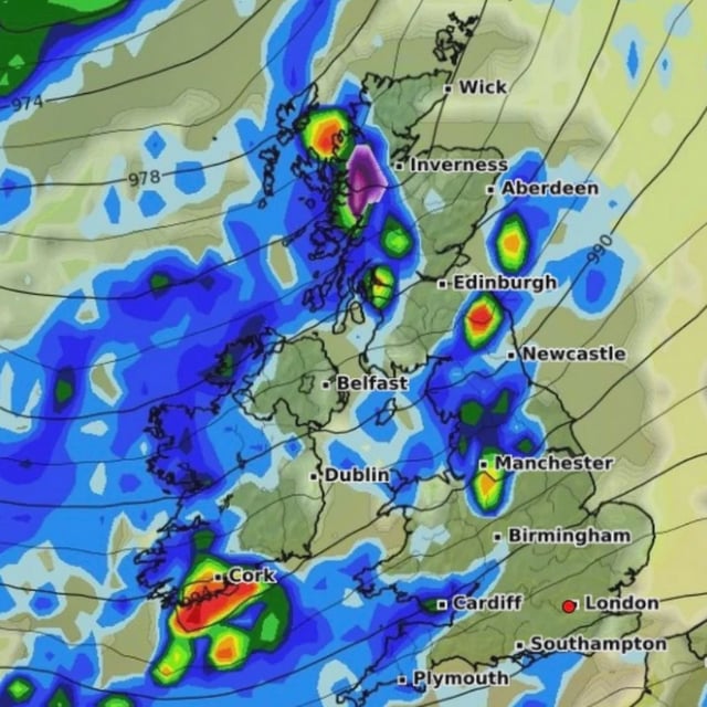
- The Met Office long‑range guidance favors spells of rain and strong winds in northwestern regions with relatively drier conditions further southeast in early October, influenced by ex‑Hurricane Humbert.
- The Met Office and BBC stress high uncertainty for mid‑October, with temperatures near or a little above normal overall and no strong signal for notable cold despite modelled snow risk.
- A new Nature Communications study by Newcastle, Bristol and Met Office scientists finds European hailstorms may become less frequent but capable of producing much larger, more damaging hailstones.