

Overview
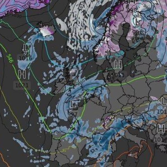
- GFS-based outputs visualised by WX Charts and Ventusky indicate a cold surge around October 21–22.
- Early hours could bring near‑freezing temperatures across a roughly 169‑mile stretch from Inverness to Glasgow.
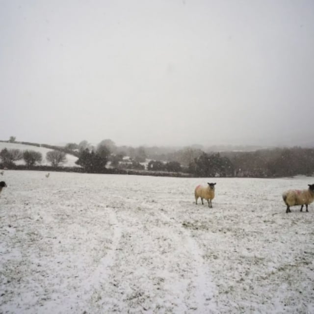
- Model projections show a chance of light, short‑lived snow on higher ground in Scotland around October 22, with only small accumulations.
- Maps suggest southern England, Wales and parts of the Midlands turn wetter with heavier rain during the same period.
- Official guidance keeps high pressure and settled conditions in place until about October 21 and currently shows no indication of UK snow, with a shift to more unsettled weather likely later in the month.