Overview
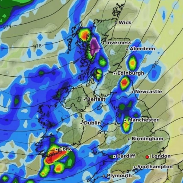
- Recent GFS runs point to localized snow over parts of the Scottish Highlands and northern Argyll and Bute early on 7 October.
- Model outputs indicate short bursts near 3 cm per hour around Glencoe, Ben Nevis and Invergarry, with only about 1 cm likely to settle.
- Additional flurries are projected north of Fort William and into the Cairngorms on the evening of 8 October, though confidence remains low.
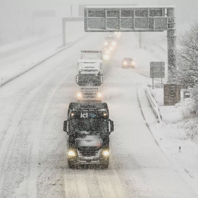
- The Met Office long‑range outlook favors spells of rain and strong winds in northwestern areas, with the southeast staying mostly drier and days near or a little above average.
- New research in Nature Communications finds European hailstorms may become less frequent yet potentially more damaging, with very large hail a future risk even as UK hail risk stays low.