Overview
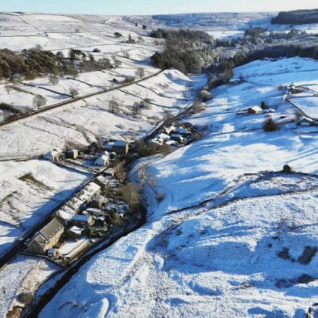
- WX Charts visualisations based on the GFS model indicate snowfall from late on October 15, around 11 pm, through October 17 across parts of northern Scotland.
- Forecast maps highlight higher parts of the Highlands and Grampian, including areas such as Aberdeenshire, Moray, Badenoch and Strathspey, Caithness, Inverness, Lochaber, Nairn, Ross and Cromarty, Skye and Lochalsh, and Sutherland.
- Some projections suggest rates up to about 2 cm per hour on higher terrain near places like Fort William and Inverness, though these signals remain subject to revision.
- The Met Office long‑range outlook points to a shift toward more unsettled conditions later in October with more frequent rain, showers and possibly strong winds, and Netweather expects western areas to see the heaviest rainfall in the near term.
- The Met Office has named Storm Amy for Friday, linked to complex Atlantic tropical influences including Humberto and Imelda, and experts note October snow in England is unlikely with higher chances not until November.


